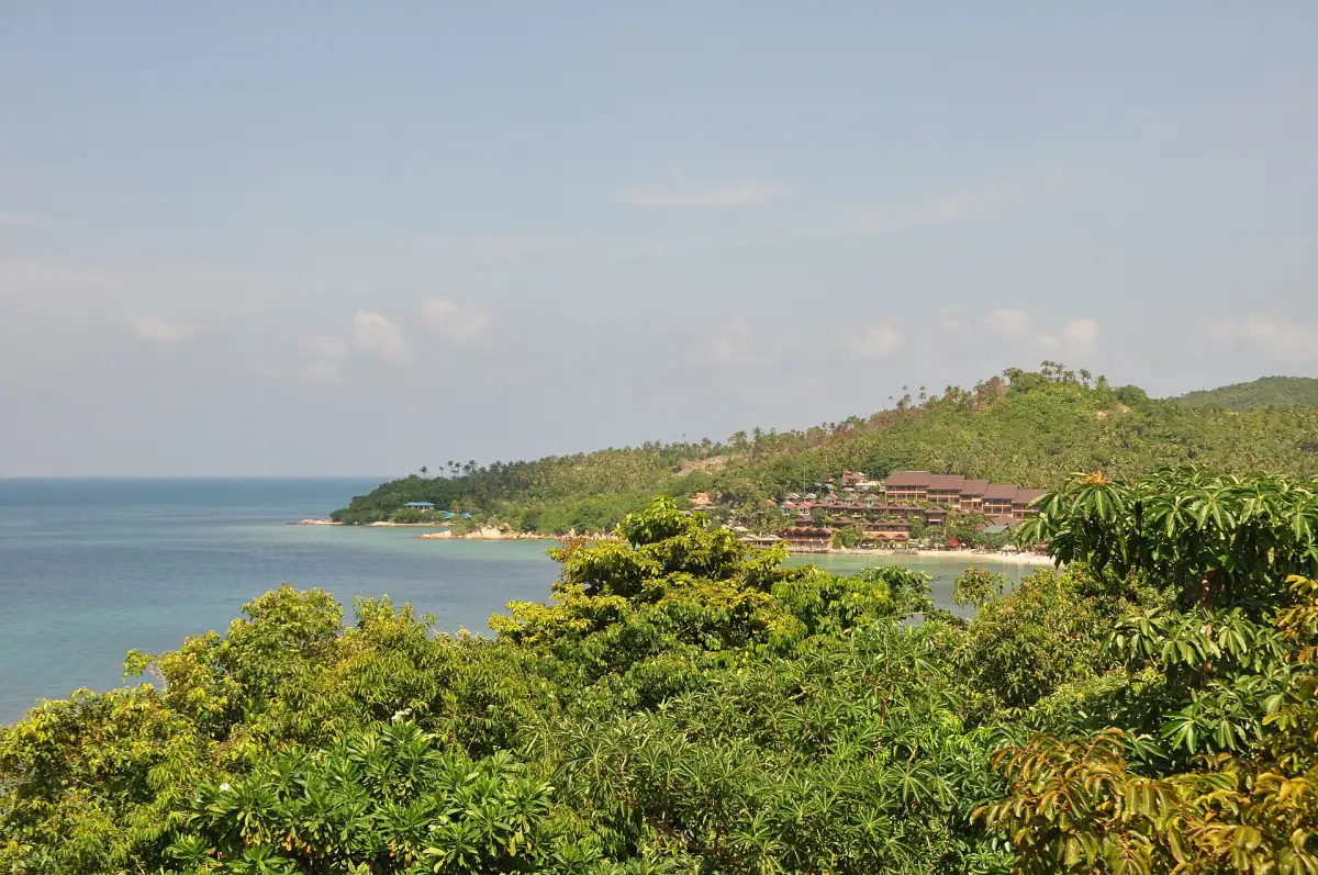
Best time to visit Ko Pha-ngan for a flexible itinerary
February offers the lowest historical monthly rainfall in the neighbouring Ko Samui station series used to assess the best time to visit Ko Pha-ngan. November has the highest rainfall in that same series. These are climate averages for 1991 to 2020, published by the Thai Meteorological Department in 2023. They help compare months, while the decision to travel by boat still depends on conditions and operations for the actual date.
Ko Pha-ngan planning works better when the desired activities are clear before choosing the month. A stay focused on a beach base has different scheduling needs from a route with several ferries and a fixed departure flight. Put the journeys that matter most into the itinerary first, then leave flexible days for the island visits and activities that can fit around them.
Ang Thong is a separate marine national park, so its visitor access and boat operations deserve their own check alongside the broader island plan. A favourable month in a climate table does not establish access to a particular park stop. Use the seasonal overview for the initial choice, then use current weather information and the operating arrangements for each crossing or excursion when the travel date approaches.

Weather by month: the neighbouring Ko Samui record
Ko Samui station 48550 supplies the complete monthly comparison here, rather than a measurement series taken on Ko Pha-ngan itself. The TMD report of 2023 covers the historical normal period 1991 to 2020. The maximum and minimum columns are mean daily high and low temperatures for each month; rainfall is the mean monthly total. A rainfall value is therefore not a daily amount or a forecast for an individual stay.
October, November and December are noticeably wetter in this neighbouring-station series than most other months. February is its driest month, but the average still represents rainfall rather than a promise of entirely dry days. Read temperature and rainfall together when choosing travel dates, without turning a monthly total into an expected number of rainy afternoons. Assess swimming conditions for the particular beach on the day.
| Month | Mean daily maximum °C | Mean daily minimum °C | Mean monthly rainfall mm |
|---|---|---|---|
| January | 29.0 | 24.2 | 126.8 |
| February | 29.4 | 24.9 | 64.3 |
| March | 30.4 | 25.4 | 115.8 |
| April | 31.8 | 26.0 | 82.9 |
| May | 32.9 | 25.7 | 131.6 |
| June | 32.7 | 25.3 | 133.6 |
| July | 32.3 | 25.1 | 117.0 |
| August | 32.4 | 25.1 | 102.2 |
| September | 31.9 | 24.8 | 117.5 |
| October | 30.6 | 24.3 | 294.9 |
| November | 29.7 | 24.1 | 444.6 |
| December | 29.3 | 24.0 | 263.1 |
A weather-dependent boat trip
This Ang Thong excursion includes kayak equipment and lunch; conditions can affect boat trips.
Hand-picked tours, booked through GetYourGuide. Prices are indicative starting prices in US dollars (as of November 2026). Tap a tour for live availability and the current price in your currency.

Ang Thong as a weather-dependent day out
The speedboat excursion combines kayaking and snorkelling equipment with meals; choose the hotel-transfer option if needed and budget separately for park admission.
Northeast monsoon and boat traffic
The northeast monsoon matters to gulf travel because wind, rain and waves can affect journeys on the water. Ferry conditions published on 14 May 2026 allow weather-related timetable and route changes. Organise the trip with that possibility in mind, especially when an arrival ferry is followed by an excursion or a departure ferry connects to a separately booked flight. The shortness of a crossing does not remove the need for a time margin.
For the final travel decision, consult the current TMD forecast and the named sailing’s operating information. Read the FCDO Thailand safety and security advice for wider transport risks. A climate chart is useful months ahead; the forecast and actual service arrangements answer different questions close to departure. Treat those as successive planning steps rather than selecting a month and assuming every water activity will fit a fixed schedule.
Ang Thong season and the weather-dependent excursion
Ang Thong’s park profile describes February to August as favourable for boat travel, while the actual excursion also needs operating park access and suitable sea conditions. Establish the date’s park and boat arrangements before committing an important part of the itinerary to it. The Ang Thong guide explains the marine park separately from the national park on Ko Pha-ngan itself.
The featured speedboat excursion from Ko Pha-ngan is listed as seven hours and includes a light breakfast, buffet lunch, drinking water, fruit, snorkelling and kayaking equipment, a life jacket, an English-speaking guide and basic accident insurance. Hotel return transfer is included with the selected transfer option. The stated meeting point is the office at Thong Sala Pier at least 30 minutes before departure. Park admission is extra: this product specifies 300 THB per adult and 150 THB per child, payable in cash on the day.
Ferry planning and time margins
Ko Pha-ngan ferry planning should leave space around fixed onward journeys, particularly the return to a flight. Read the arrival and ferry guide for the separate road, sea and onward stages. Keep a weather-dependent day trip separate from the transfer that brings you onto the island, so the two bookings do not compete for the same uncertain arrival window.
Accommodation location also affects how the itinerary works around departures. Compare beach bases and the port area before deciding how much travel to add on either side of a ferry. A flexible day can be used for an island activity rather than making every planned experience depend on one sailing. Choose the season as a broad guide, then keep the important connections workable under changing conditions.
Plan the next part of Ko Pha-ngan
Ko Pha-ngan planning continues with these related guides to locations, arrivals and event dates.


Ko Pha-ngan planning questions
Which month has the lowest rainfall in the table?
February has 64.3 mm of mean monthly rainfall in the TMD Ko Samui station series for 1991 to 2020, published in 2023. That makes it the driest month of this neighbouring-station record. The value describes historical climate rather than the weather, sea state or sailing availability for a particular visit.
Are these climate measurements from Ko Pha-ngan?
No, the table uses neighbouring Ko Samui station 48550 and the historical normal period 1991 to 2020. The TMD published the report in 2023. Temperatures are mean daily highs and lows, while rainfall is a mean monthly total; use the record for broad comparisons alongside current forecasts for travel decisions.
Does a listed Ang Thong excursion mean it will operate?
No, Ang Thong excursions depend on the conditions and park access for the travel date. The featured product describes its seven-hour format and included equipment and meals, with park admission extra. Use current service and park information when choosing the day and leave room to adjust the wider island itinerary.